

Discovering the České Budějovice Countryside – Information Trail Man and Landscape

Enjoy a nice walk along the new Man and Landscape information trail and learn about human interventions in the České Budějovice countryside in the past and the present and their impacts on its appearance.
The trail, with a length of 6 km runs from Nemanice (suburb of České Budějovice) to Rudolfov and takes approximately 4 hours to walk, including stops at the information panels. We recommend taking the trail in this direction, because the narrative on the information panels follows this course. You can return on the same route, or take a bus from Rudolfov to České Budějovice and change for Nemanice.
Fields, forests and groves: almost each of these landscape features around České Budějovice bears traces of human intervention. Including those you have thought have always been there. Today, few people realize that the landscape might have looked very different in the past. Although the more recent interventions in the landscape are more visible, the information trail “unveils” and points out human traces from the past as well.
There are no major or outstanding heritage sites or other buildings along the route. Its 13 stations with information panels will teach you about what you are looking at and what has happened in the countryside around you, making you think about what better treatment the place might be given. The information trail is thus ideal as an auxiliary program for schools as part of environmental education. The trail notices human creations that have benefited not only people but also the countryside itself. Fishponds are such works, for example. In contrast to that, attention is also paid to “works” that have benefited neither the countryside nor the people, except a few individuals that grew rich thanks to them. Such “heritage” includes illegal dump sites. Other important topics include the history of the villages on the route, the history of mining and, last but not least, a description of the geological conditions in the area.
Stations of IT Man and Landscape:
- station: Čertík fishpond. The topic is the history of Nemanice and water management in the landscape.
- station: Former mill under Čertík. The topic is the history of aquaculture and water energy uses.
- station: Edge of Úsilné. The topic is the history of Úsilné and soil management.
- station: U křížku – yesterday, today, tomorrow. The topic is a remembrance of World War One and the current development in the village.
- station: The old quarry. The topic is humans’ coexistence with nature.
- station: Motorway and power plant. The topic is contemporary human interventions in landscape.
- station: Anthracite mines. The topic is former anthracite mining.
- station: Dumps and military depots. The topic is illegal dump sites and former military gunpowder depots.
- station: Hůrka lookout. The topic is a description of the geological conditions in the area. The station includes a photographic panorama of the opposite side of České Budějovice Basin.
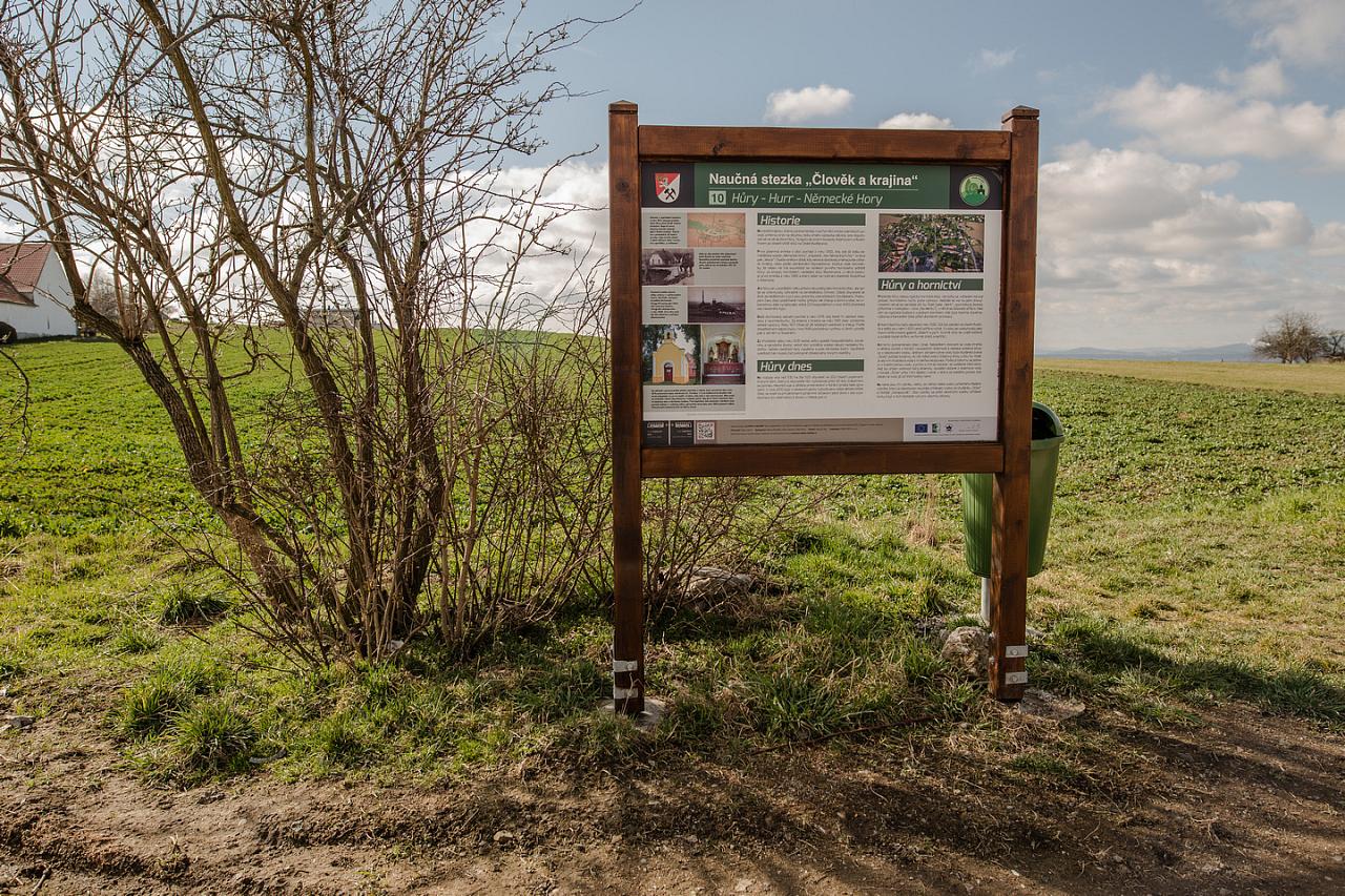
- station: Hůry – Hurr – Německé Hory. The topic is the history of Hůry and the impact of mining activity on the village.
- station: Adamov. The topic is the history of Adamov and the impact of mining activity on the village.
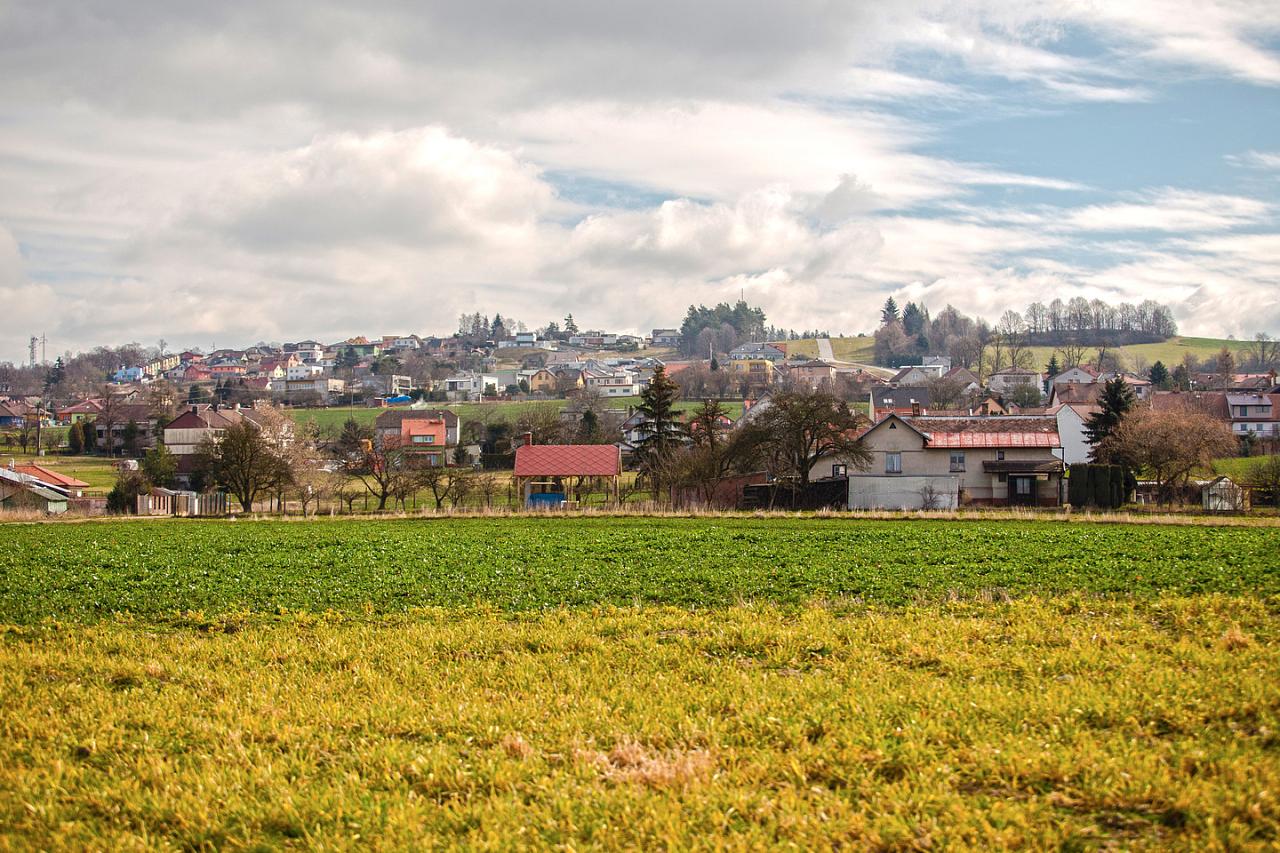
- station: Suburbanization. The topic is suburbanization – settlements around big cities.
- station: Natural garden. The topic is natural gardens.
TIP: If you haven’t had enough learning, you can follow another information trail from Rudolfov (Around the Mining Town), or visit the local Mining Museum. As the names suggest, their main topic is the mining period in and around Rudolfov.